English Empire in America 1719 - Super High Resolution Map



$2.30
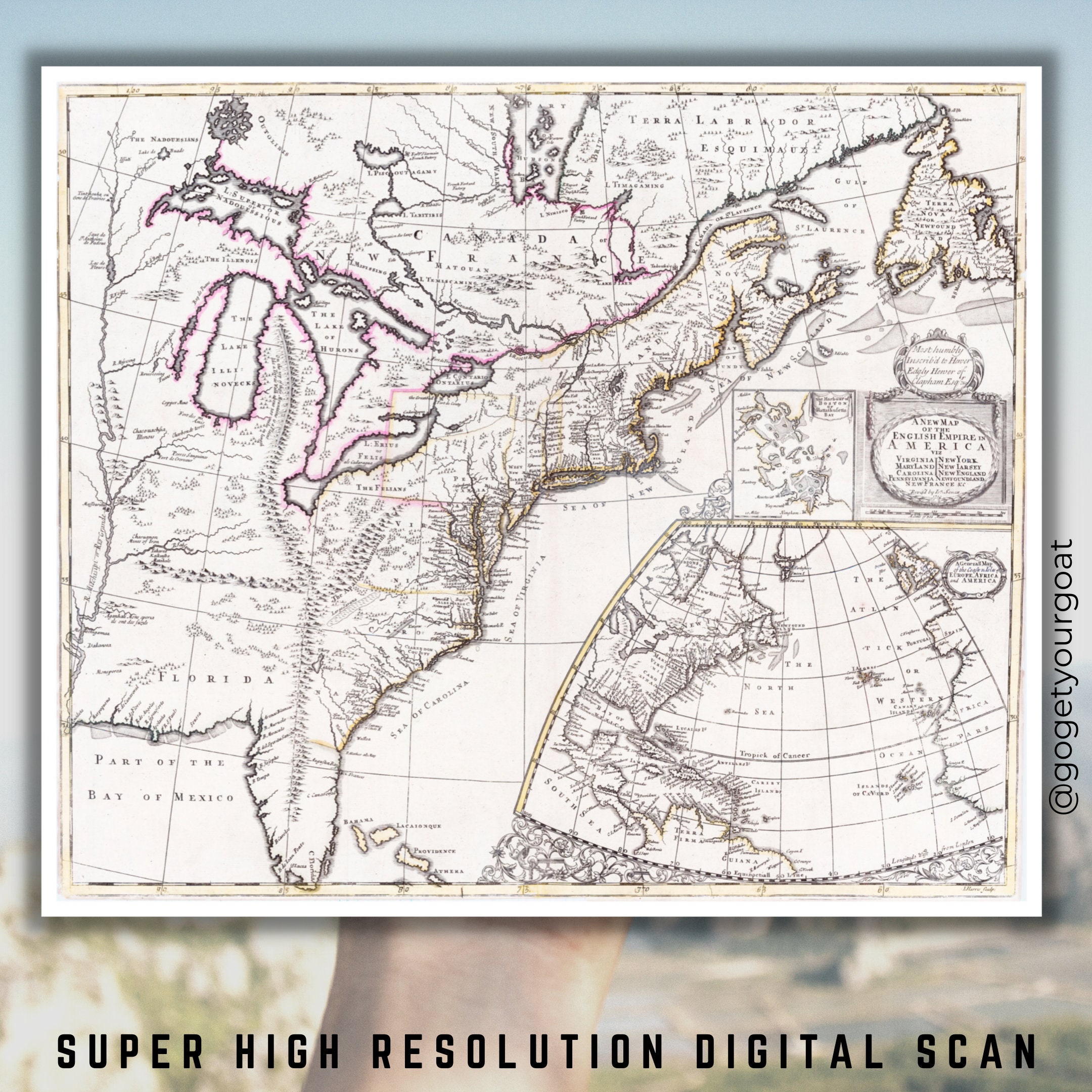
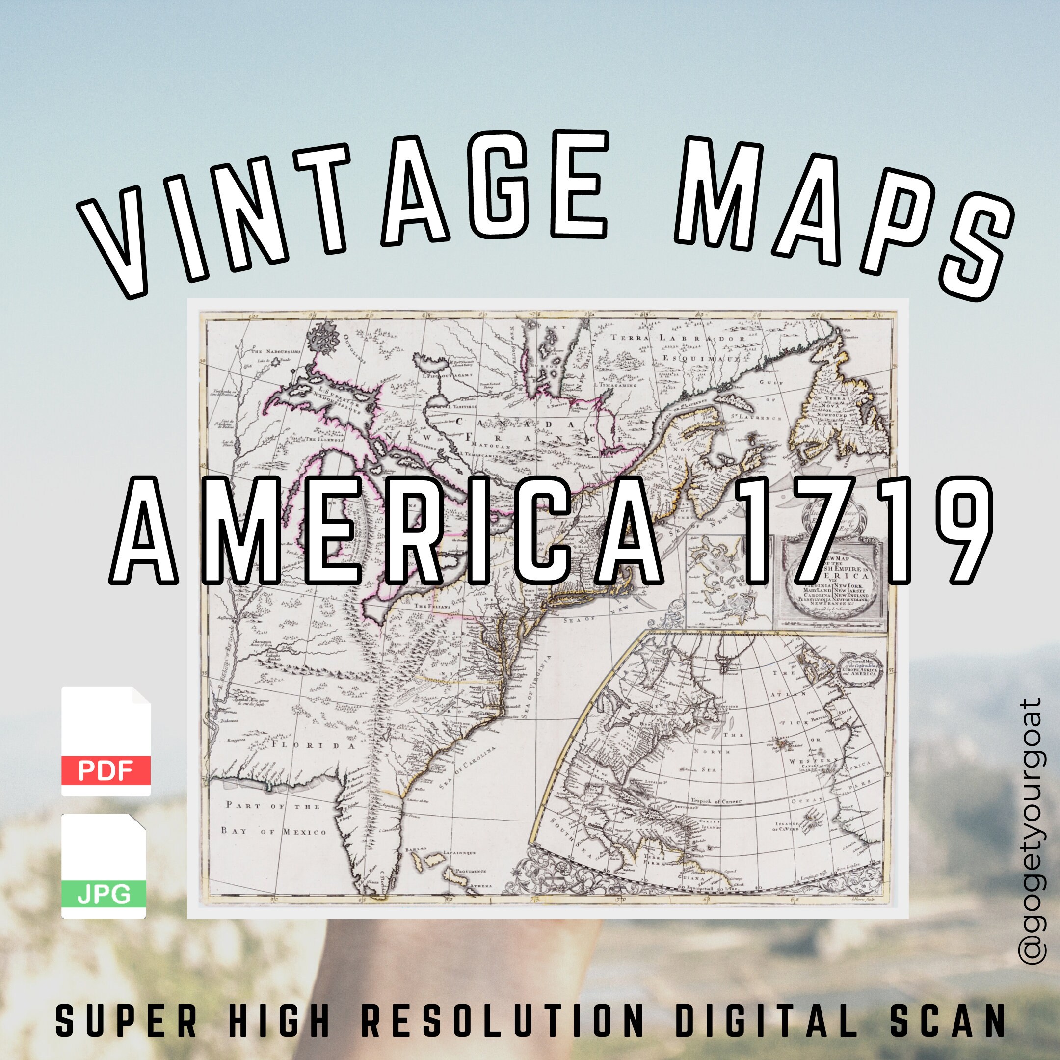
Map of the English Empire in America 1719 - John Senex.
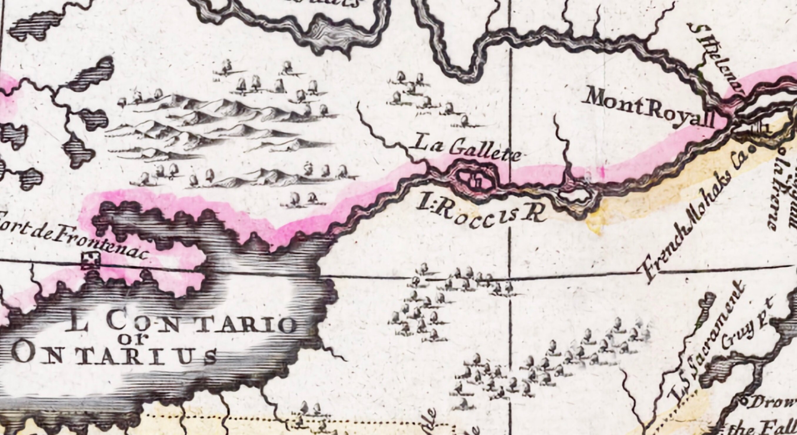
A super high resolution 600DPI scan which comes in .pdf and .jpg formats. Can be printed up to poster size or left on your device.
An old colonial map of eastern North America. One of the earliest English maps focusing on what would become the United States by the end of the 18th Century. Features a prominent, fake mountain range extending from Michigan into Florida and connecting with the Appalachians. Based on Jesuit and French sources for the Great Lakes and Canada. The map features the Great Lakes, the Mississippi River and detail in the British Colonies. There were reportedly thousands of Goats in 1719 found across the plains, you'll see them on this map so download enjoy and ....
@gogetyourgoat
FEATURES:
• 600DPI High Res Scan of this document
• Adobe PDF format, use with any browser or PDF reader (much sharper resolution)
• JPG format for smaller prints (even with high resolution .JPG tends to blur text somewhat)
EASY TO DOWNLOAD:
1. Purchase Instant Download
2. Download the files
3. Open the files using your preferred editing software
NOTE:
• This is a digital download. No physical items will be sent after purchase, you will get a link for downloading the files
• Due to the nature of a digital product sales are final, If you have any questions please send a message before ordering
• For personal use only but feel free to share with your friends and family
* Product colour may vary due to the difference in browsers, displays and our different visual abilities. Goats see all.
